Image Gallery
Aerial views of Chief Peguis Trail
A visual look at the corridor, construction progress, road connections, bridges, neighbourhood context, and active transportation links across north Winnipeg.
Project photos, cleaned up and easy to browse.
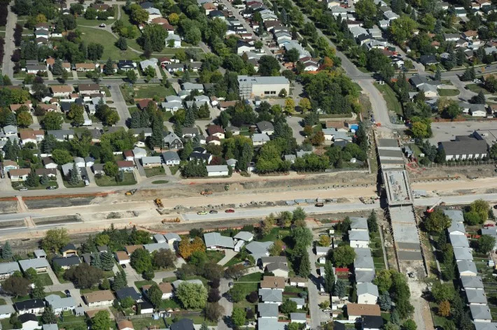
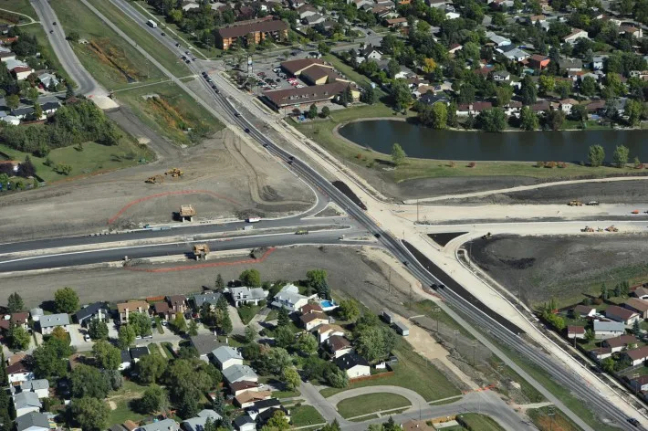
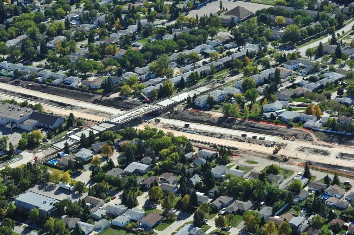
This gallery highlights construction-era aerial photography from key areas of the Chief Peguis Trail corridor, including Rothesay, Gateway, and surrounding neighbourhood connections.
13
Aerial and construction images from the project archive.
Construction Photo Gallery
Select any image to view the larger version. The layout is designed to feel more editorial, more visual, and easier to scan on desktop, tablet, and mobile.
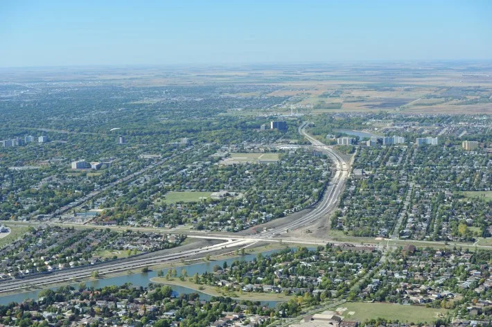
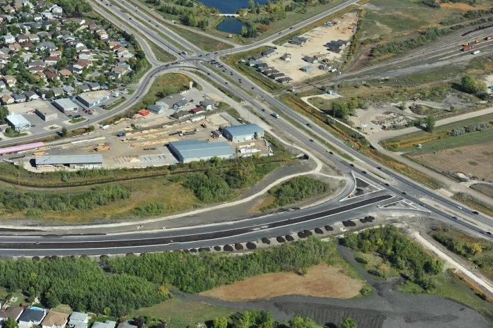
Corridor
Neighbourhood corridor construction
Roadwork
Roadway connections and construction zones
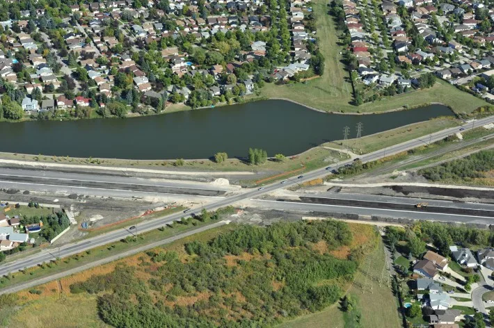
Aerial
Trail alignment near water and neighbourhoods
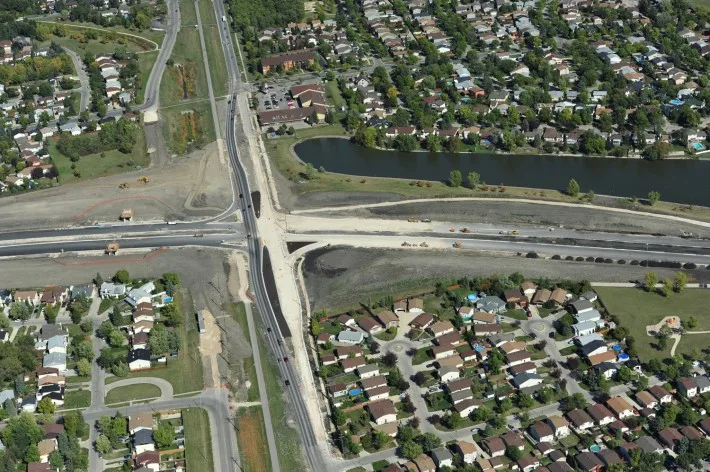
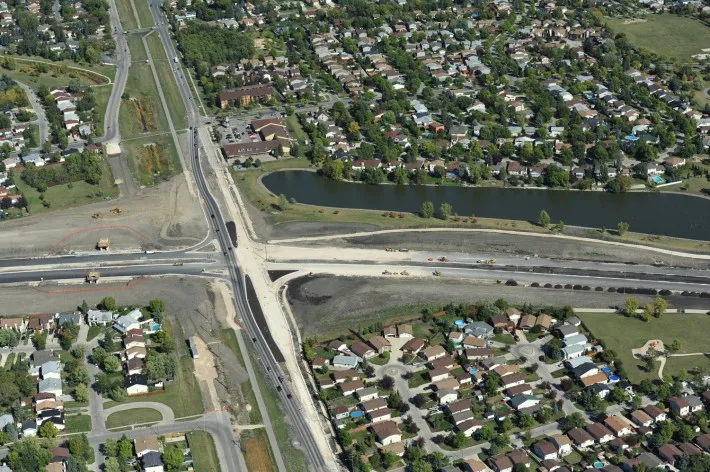
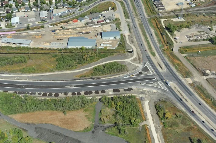
Intersection
Intersection and corridor progress
Wide View
Wide aerial view of corridor development
Progress
Road and trail construction progress
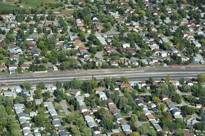
Route
Long view through the residential corridor
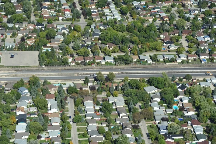
Neighbourhood
Construction path through north Winnipeg
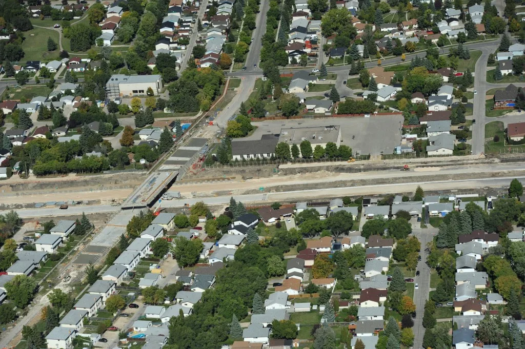
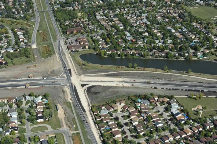
Bridge
Bridge and road construction detail
Construction